2018-devsummit-plenary
Esri DevSummit 2018 - Plenary
The following demos were presented at the Esri DevSummit 2018 to demonstrate new client-side capabilities of the ArcGIS API for JavaScript 4.7 (April 2018).
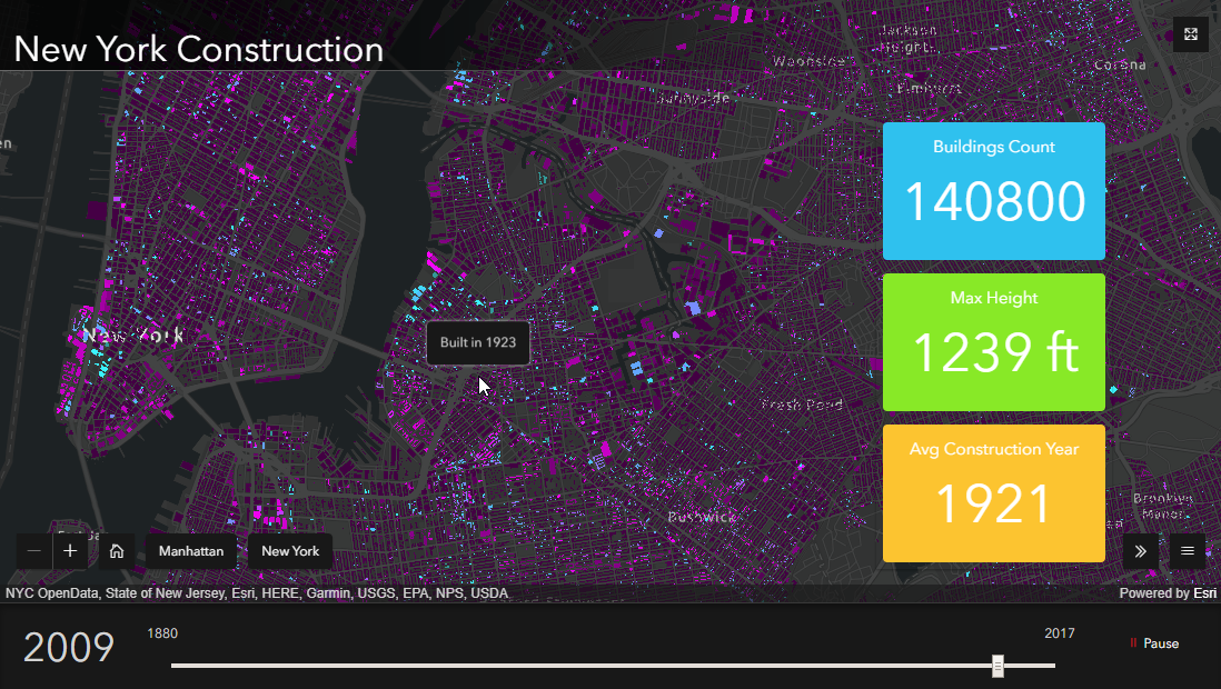
Construction of New York
The application showcases the construction of the current buildings of New York over time. The demo features a widget that displays information about the buildings currently built at a given time in in the view extent. The queries required to update the widget are executed client-side, avoiding round trips to the service. It uses web workers, spatial indexing and a SQL engine.
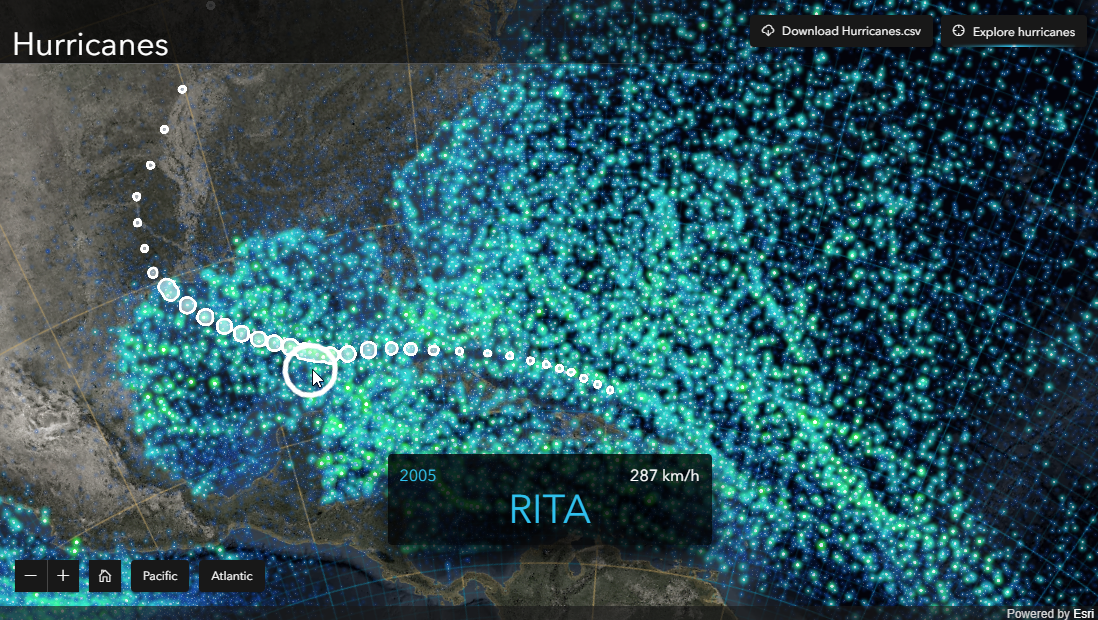
Hurricanes Explorer
The application is a dynamic map app of a static map made with ArcGIS Pro you can find on Maps We Love http://www.esri.com/products/maps-we-love/hurricane-map You can explore a hurricanes dataset using the same client-side querying. The longitude and latitude coordinates are projected client side in the view’s projection by the projection engine, the same available in ArcGIS Pro and Runtime. It’s compiled as a WebAssembly module and streamed to the web browser.